Introduction

Welcome to the Archive. Here you'll find all of my ride reports from the first eight years of cycling in Wales. The layouts used here are in the previous design which I'm currently updating, so be sure check back!

Tuesday, August 29, 2017

GROUP EVENT
Grosmont & Garway Ramble


Originally we planned on riding up over the Gospel Pass, but as the weather changed, we decided something less adventurous would be smarter. Our ride to Grosmont, however; turned into a surprising adventure in it's own right.


My day began early with a sleepy ride up to Brynmawr and down through Clydach Gorge to join the fellas in Abergavenny for the start of our ride.

I was excited for the day and made it to Abergavenny early enough to stop for breakfast. Yes!, I will have that sausage and egg sandwich, please. Thank you!

Soon after we all met; the skies opened up and we quickly changed our plans. Heading out of Abergavenny is always a climb, yet it affords some pretty scenic views back across the valley.

We stopped for coffee & tea a few miles up the road and decided on Garway as a destination. The rain however, did not let up and poured on us the entire way there. (I was sooo glad that I had that sandwich in my belly!)

St. Michael's is a very unusual church worth reading more about... see my link at the bottom of the post. Fortunately, the weather calmed briefly while we walked the church grounds.

Without much of an introduction when entering, there are some pretty interesting details to be found if you take the time to look around.

One of the most notable design features is the Norman Arch leading into the naive.


  Ride Report Card
  Ride Name: Grosmont & Garway Ramble
  Ride Date: August 29, 2017
  Distance: 95.2 mi
  Duration: 15:36:22
  Moving Time: 09:29:30
  Elevation: + 6141 / - 6140 ft
  Avg. Speed: 10.0 mph
  Weather: Rain, rain, & rain.
  Temperature: 19°c / 66°f
Not everyone finds history as engaging as myself. I guess if you grow up around these places, you become disinterested. And to be fair, not everyone wants to poke about old churches during the midst of a bike ride.

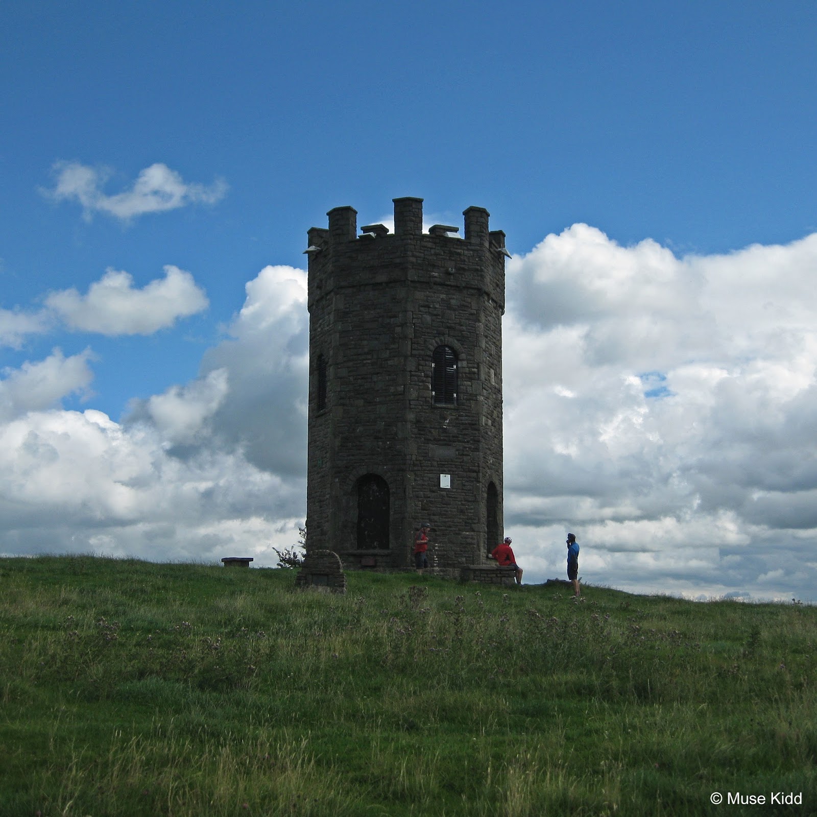
But for me... this is what it's all about. Discovering new places, wandering and exploring, returning home and following up with additional investigation; this is why I love Wales and why I love to cycle here.

Of course too, I've been here before. In 2012 John brought the Kingfishers out for a day of history and architectural study. I had more time then and shot a few more photos. You can read about that trip here... [ Garway & the Knights Templar ]


Mostly, I saw the back of these fellas. Oh well, I like to ride slowly. I finally caught up with them in Abergavenny and after they loaded their bikes into their respective cars and drove off; I tootled up to the M&B Canal and made my way home.


Late summer corn along the canal path home and a troll's hideaway. Cheers! - cm
Relevant Links:

Back to top

Tuesday, August 22, 2017

BIKE & HIKE
The Punchbowl


Hot on the heels of our trip to the Folly Tower above Pontypool, Ivor suggested another "Bike & Hike" ride to the "The Punchbowl".

 
Having not heard of this place, yet confident in both Ivor's recommendations and our previous success; this next adventure did not disappoint.

Of course too, this ride would require a bit of climbing... (as do most all rides in Wales). So on the following Tuesday we set off for Blaenavon and the Blorenge.

The clouds were heavy with a blanket of mist as we ascended 1500 feet to the summit.

Climbing The Blorenge is not for the faint of heart, yet once at the top; the 360° views across the heather and into the surrounding valleys are stunning.

At the car park near the summit, we turned down a rough road and climbed another 100 feet to a high ridge seemingly at the edge of the world!

We then had to ditch our bikes to begin our descent by foot...

And then... quietly... slowly... she appeared through the thick trees.


  Ride Report Card
  Ride Name: The Punchbowl
  Ride Date: August 22, 2017
  Distance: 84.0 mi
  Duration: 13:47:54
  Moving Time: 08:01:44
  Elevation: + 5221 / - 5220 ft
  Avg. Speed: 10.5 mph
  Weather: Clouds & mist
  Temperature: 21c / 70f
There's a link below that provides some history about this place and all I can say is that it's well worth the effort. We met a few folks walking about and everyone agreed... it is quite special. First off, it is incredibly quiet - quiet to the point that it makes everyone whisper. Birds calling, toads croaking, and even just crunching through the grass is amplified from the sides of the surrounding hillside.

We walked around the perimeter, climbed a bit along one side, then after a long look back, we slowly climbed our way up the hill to our bikes.

The thing about Wales that astounds me continuously is that there is so much to see within such a small area. This place is tiny. And though it may take a bit of effort to reach some of these remote locations; actually, they are all within a reasonable distance. Wales has such a depth of history... it fascinates me. I am truly in awe. I am a lucky boy.

Far off in the distance, The Skirrid looms under foreboding clouds.


Relevant Links:

▲ Back to top

Tuesday, August 15, 2017

BIKE & HIKE
Pontypool Folly & Roman Road


I've heard stories about this place since I first arrived in Wales. Following the suggestion from Ivor of the Kingfishers that we make the visit and look for the roman road - the decision was made; we would go on our next group ride!

 
Notorious for having been torn down during WWII for fear that German bombers would use it as a marker for locating military installations; most notably the arms factory in Glascoed near Usk, the Folly Tower was finally rebuilt to it's 18th century glory and reopened in 1994.
  Ride Report Card
  Ride Name: Pontypool Folly
  Ride Date: August 15, 2017
  Distance: 73.3 mi
  Duration: 12:28:44
  Moving Time: 06:42:45
  Elevation: + 4520 / - 4518 ft
  Avg. Speed: 10.9 mph
  Weather: Sun!
  Temperature: 18°c / 64°f
Like so many places in Wales... it takes a climb and a will along with a healthy does of fortitude to make the ascent up the ridge behind Pontypool Park to reach the folly.
John, Ivor, and Eric "hoof-it" to the top.
Once at the top, the views are well worth the effort. As you can see, we had a nearly 360 degree panoramic view of the surrounding valleys.
20 miles to our south the Ebbw River Valley and Rhymney River Valley flatten out and merge into the Bristol Channel at Newport, which is visible along the far horizon.
A large portion of our visit involved simply wandering about and looking. Someone points out something, another finds a little detail of interest. It's quite a spiritual thing to stand on a hill and look at the world around you. It makes you consider so much about yourself and your place.

And even though you can never really answer your own silly metaphysical questions on the huge nature of meaning, when standing at such a place, on such a fabulous day, it just feels damn good to look and think.
And then it's time to head off. Reluctantly, we meander across the thick grass looking for something we may have missed... looking at what we've already seen one more time... placing little images in our mind to take with us.
The Roman Road?
So we set off again for our next adventure! Heading north and down the hill a short distance we left the paved road for a VERY rough trail into the woods. Clearly this was not for cycling. And so we climbed off our trusty steeds and began the slow navigation whilst pushing our bikes through the thick growth leading onto "The Roman Road".
Traveling along a route 2,000 years old is "hard to get yer head around". But there we were... pushing our bicycles through VERY thick vegetation, along a VERY slippery descent of wet cobbled stones. Partially a path at best, but mostly a creek at it's worst, we followed this "road" for nearly a mile.
As we moved further down the hill, the path slowly levelled and became a bit smoother. It was at this point the stones started to form a recognisable pattern. Yes! You could see that this was indeed a road... a well made road!
Look at that! There is no doubt about it.
So I searched online for more information on this "road" and I have to admit that my results are mixed. While some folks claim that it is indeed Roman, others claim that it is much newer.
And so we continued further down the road to where we met more modern pavement just above the M&B Canal.
You can smell the cold stone of the bridge and the musty green leaves and dampness permeates the air as light fights through the thick canopy overhead.
Eric waves "so long" as John sorts his gear and Ivor races ahead on open road.
Whilst searching for more information on the road, I found this blog, which seems interesting and could tie in nicely with my "Bike n' Hike" plans. So, dear reader, if you have any pertinent information you'd like to pass along... drop me a note in the comments section below.
One last photo looking back... I am a lucky boy.
Relevant Links:
▲ Back to top

Ads Inside Post